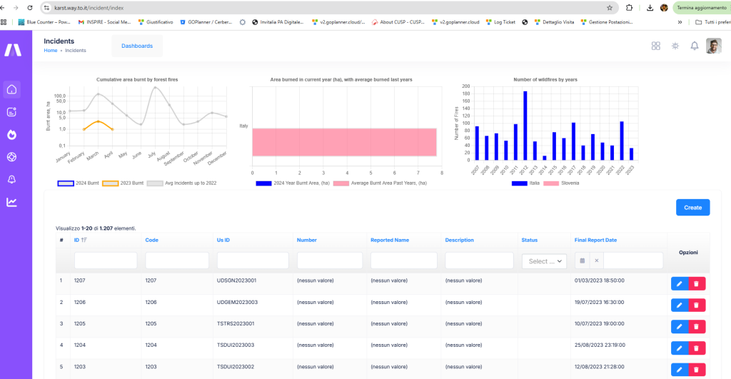
This portal is designed to coordinate efforts in the prevention and management of forest fire escalation. Historical data from Arpa and Arso meteorological stations covering the Italian and Slovenian Karst areas have already been imported into the platform.

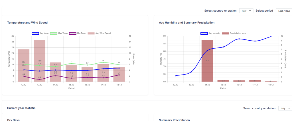
We have also established an automatic connection to continuously retrieve data from these stations and developed various analytical tools on the platform. For example, graphs enable users to quickly obtain additional useful information about weather conditions that could increase the likelihood of fire development.

The platform has also been integrated with the European satellite system Copernicus, providing access to additional information. Furthermore, we have added a catalog of various technologies that will be used as part of the project.
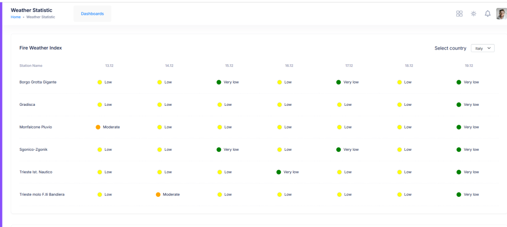
Lastly, a web-based notification tool has been included in the portal. This tool, using advanced parameters, enables the calculation of the wildfire risk index. Technical partners of the project, ZRC SAZU and IUAV, will assist us in determining this index.


